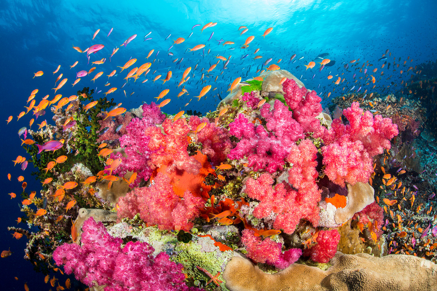
Blog
The ocean is our planet’s lifeline, teeming with wonders both seen and unseen—and it needs our protection now more than ever. In Ocean Conservancy’s blog, explore the evidence-based solutions we champion, the passionate advocates driving change, and the policy victories creating lasting impact for our ocean. From the Arctic to local coastlines, discover how Ocean Conservancy is tackling our blue planet’s most significant challenges and how you can join the movement.
Highlighted
Highlighted
What Kansas Can Teach Us About NOAA
If you asked most people in America which states depend on the ocean, Kansas would probably not top the list. No beaches. No ports. No salt air. But that is exactly why Kansas is such a powe…
View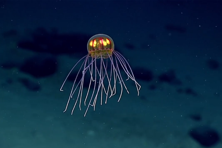
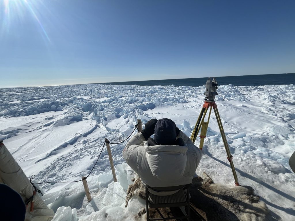
We Know the Moon Better Than the Deep Sea
You may have heard: Scientists have more detailed maps of the moon than of the deep seafloor. This is because our moon is airless, waterless and directly observable from orbit, while the dee…
View
Microplastic Pollution Research at Sea
I have been studying plastic pollution for more than a decade. I’ve analyzed hundreds of samples in labs, pored over data and spent years thinking hard about where plastics go once the…
View
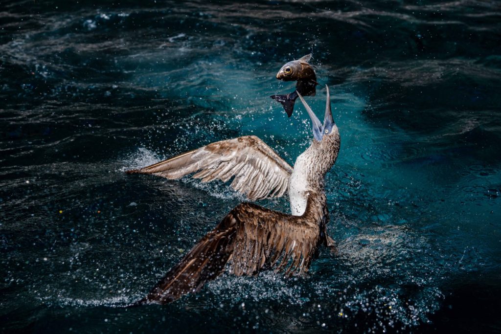
2026 Ocean Conservancy Photo Contest Winners
Our annual Photo Contest is officially wrapped—and wow, you delivered! More than 1,000 ocean lovers shared their incredible ocean and wildlife photos. Thank you for keeping our ocean in focu…
View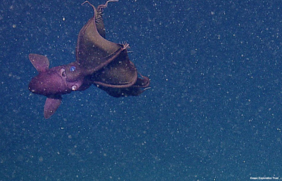
Deep-Sea Animals That Look Like Aliens
Far below the ocean’s surface—where sunlight disappears, pressure skyrockets and temperatures plunge—some of the strangest animals on the planet have evolved to survive. Transparent heads. G…
View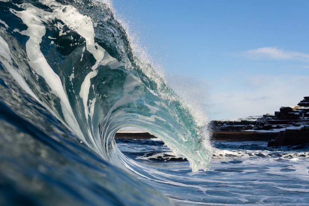
Preparing for the 11th Our Ocean Conference
I grew up in Chile, a country that stretches like a thin line between the Andes and the Pacific Ocean, with more than 4,000 kilometers of coastline. The sea is not just scenery but life itse…
View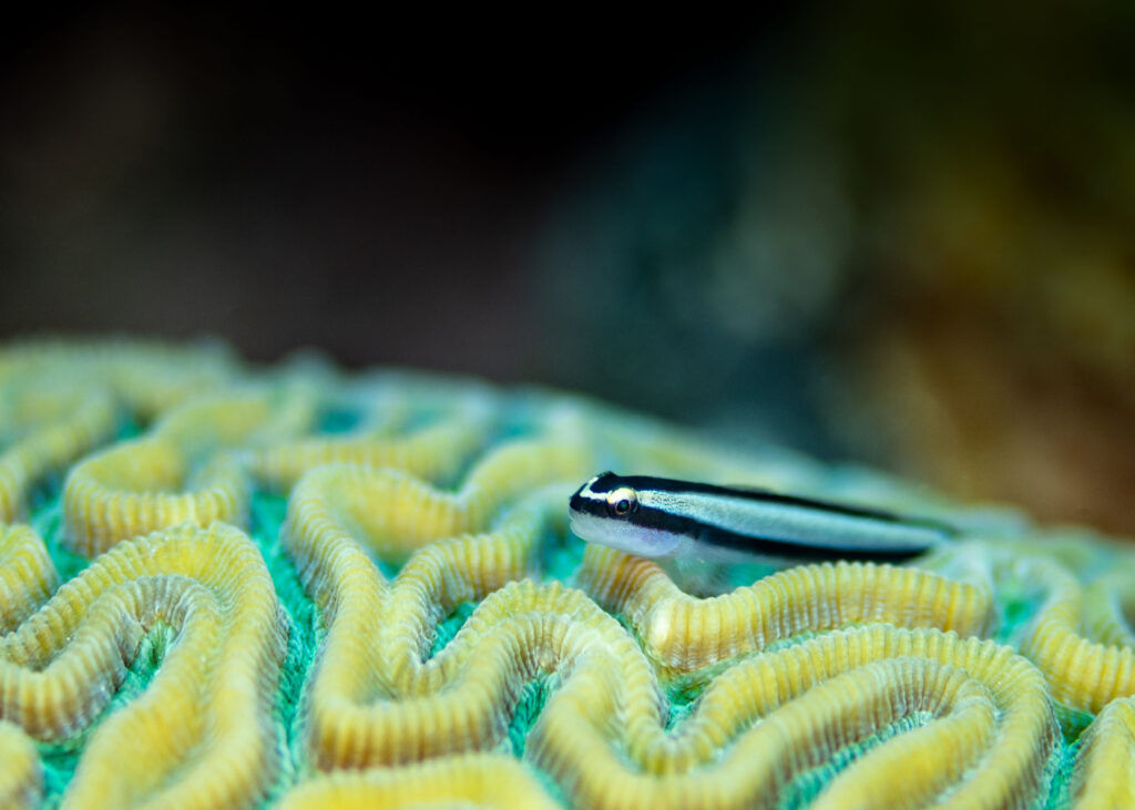
All About Gobies
There are more than 2,000 species of gobies (Gobiidae) known to science today, making them the largest family of fish in the ocean. But these small creatures are far more complex and essenti…
View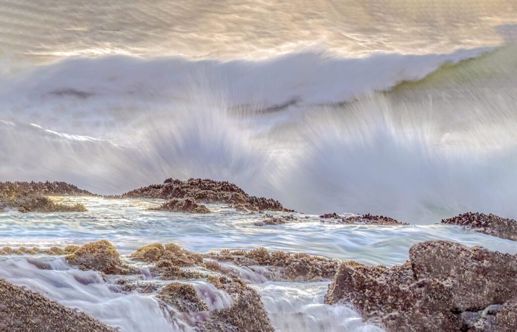
Do You Know the Difference Between El Niño and La Niña?
Recently, you may have heard about something called “El Niño.” But what exactly is El Niño and its sibling “La Niña”? Why do these terms seem to emerge from the depth…
View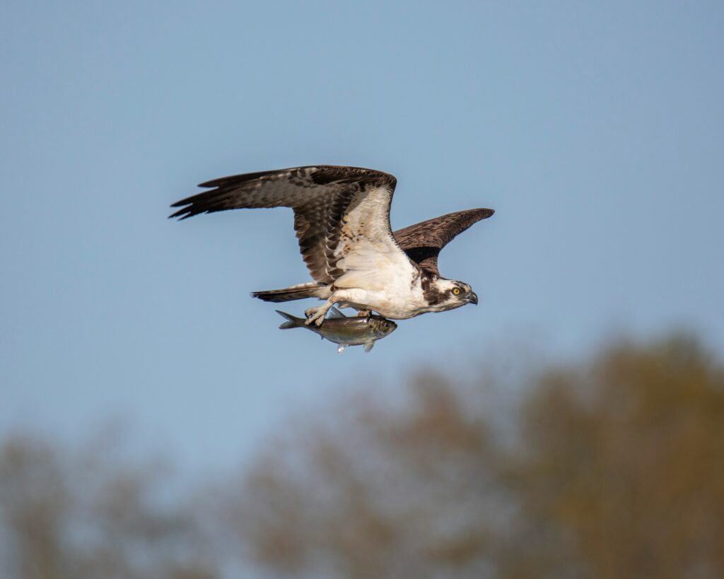
Osprey: The Ocean’s Most Specialized Bird of Prey
Have you ever seen a sleek, brown-and-white bird hover above the ocean, fold its wings and drop into the water like a cannonball, only to surface seconds later with a fish in its grip? If so…
View